
SkyGeoTech presents
innovative, independent
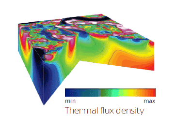
Thermovision Tomography (TVT)
technology for prospecting
of Earth’s mineral resources.
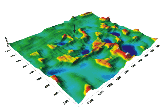
Comprehensive analysis of spectro zonal aerospace data both onshore and offshore is done using infrared(IR) and visible imagery, maps of the terrain and bathymetry.
The technology of Thermovision Tomography of the geological environment is based on the processing of an image in the thermal infrared wavelength range of 814 microns.
This allows to calculate the effective density of the flu x of thermal radiation and blockfault structures at a given depth, the spatial and temporal dynamics of the normalized index of “s tress” of vegetation in correlation with deep structure of the geological environment.